Slopes & Landslide Monitoring.png

How GEL Instrumentation Monitors Slopes & Landslides

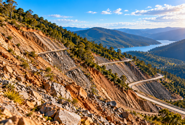
GEL Instrumentation works with geotechnical engineers on slopes that change faster than inspection reveals. We instrument lateral movement at depth and pore pressure response to rainfall and drawdown. We also track surface movement across large slopes and open-pit walls. Those parameters show how the slope is behaving, not how it looked last visit.

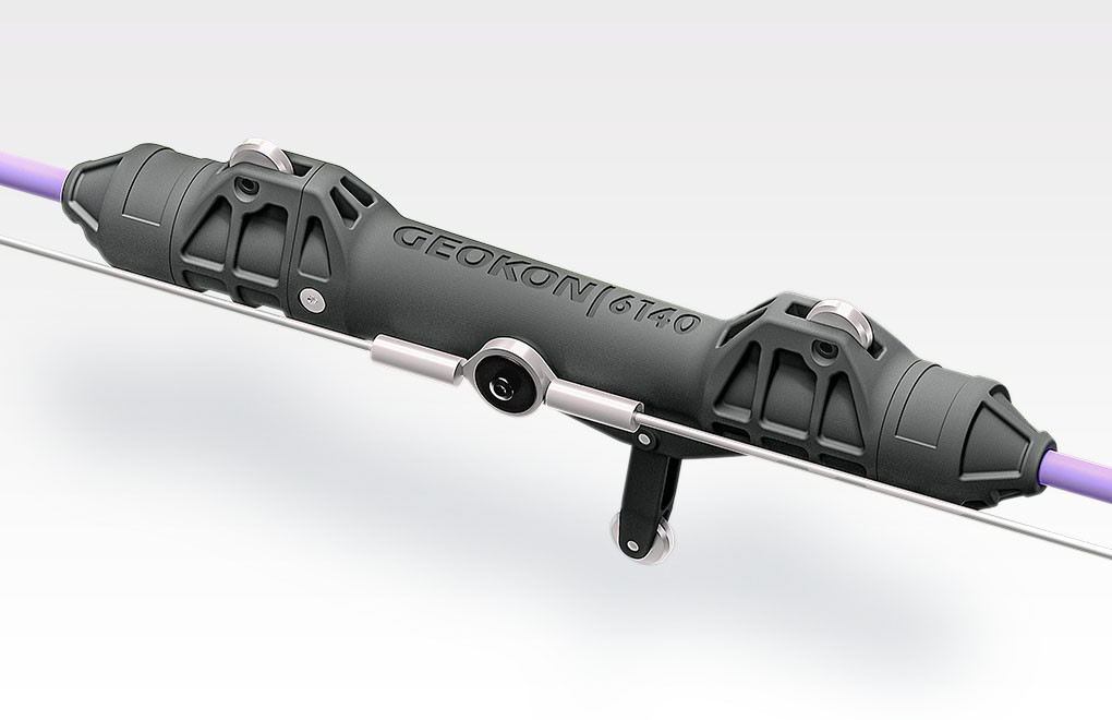
Our monitoring designs combine instruments chosen for what each one actually needs to resolve. In-place inclinometers profile lateral movement and identify the depth where shear develops. Vibrating wire piezometers measure the pore pressure driving that movement. The GEL GNSS Displacement Monitoring System tracks absolute surface movement across the slope.

Installation governs what the data can show, with sensor spacing set for the expected failure mode. GEL handles borehole installation, cable protection and remote power on slopes that are hard to reach. Convue, our monitoring software and data platform, shows your engineers movement and rainfall together, so acceleration is visible early.
FAQs

  • How do we choose sensor spacing for an in-place inclinometer on a slope?
    Spacing follows the failure mechanism you are trying to resolve. In-Place Inclinometers are configured with sensors concentrated across the depth where shear is expected, and wider elsewhere. Tell us the monitored depth, casing size and expected failure surface, and our engineers will set the interval.
  • TDR locates movement along an entire borehole rather than at fixed sensor positions. Grouted Time Domain Reflectometry cable registers shear as a signal reflection, which suits deep or rapidly moving ground where inclinometer casing would shear off. It is often installed alongside an inclinometer rather than instead of one.
  • Yes, with the right acquisition and power arrangement. Integrated Data Loggers include compact units suited to a remote station, and solar power with radio or satellite telemetry covers sites without mains or cellular. We confirm coverage, power and logging interval before quoting.
  • When you need absolute surface movement rather than movement relative to a local reference. GNSS Displacement Monitoring measures three-dimensional displacement continuously, which suits large slopes and open pits where survey campaigns cannot keep pace. Most programs run it alongside subsurface instruments.
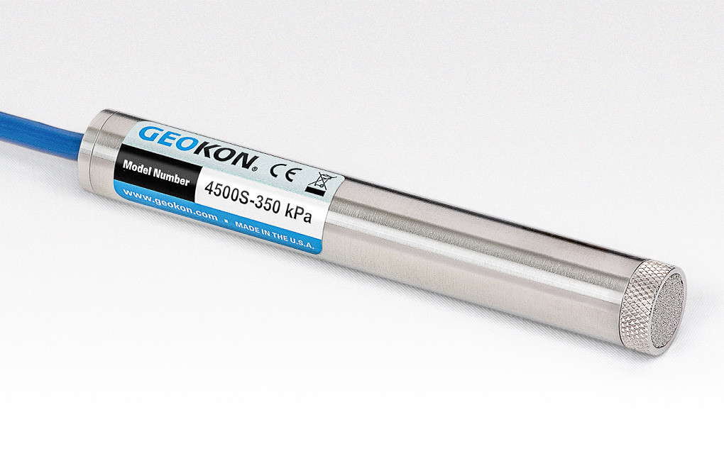
  • That depends on logging interval and how the piezometers are installed. Vibrating Wire Piezometers respond faster where installation method suits the ground, and automated acquisition can log more frequently through a rainfall event. Convue then shows movement and rainfall together so acceleration is visible early.

Let’s Talk About Your Project

Send us the slope, the ground conditions and what the assessment needs to show. Our engineers will recommend the monitoring that fits.