
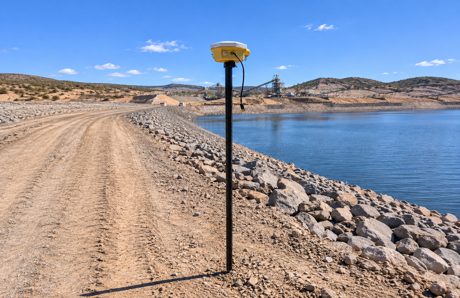
See surface movement before it becomes a problem
Surveys every few weeks show movement after it happens. Between visits, a crest can settle, a wall can creep or a slope can start to fail, and nobody knows until it’s visible. By then the options are expensive.
Every monitoring point reports its exact position around the clock. The moment movement crosses your trigger level, your team gets an alert. You see problems weeks earlier, act sooner, and have the records to prove it.
Designed for Reliable Monitoring
Each monitoring point uses a GNSS receiver: a satellite positioning unit that calculates its exact 3D position from GPS and other satellite systems. A fixed reference station on stable ground is used to correct readings, so only real movement shows up.
Why GNSS for monitoring:
● Continuous: readings day and night, in most weather, so movement isn’t missed between survey visits.
● Direct 3D positioning: measures horizontal and vertical movement at the same time.
● No drift: absolute positions stay accurate over months and years.
● Expandable: start with a few points and add more as your site or risk grows, without changing the system.
ConVue leverages GNSS from a potentially strong technology into a robust monitoring services with remote system maintenance and expert validation.
Simple, Guided Installation
GEL engineers plan the layout with you, install and commission the receivers and reference station, and confirm baseline readings before monitoring starts.
GEL GNSS Monitoring Package
What you get | Why it matters |
Site assessment and monitoring layout | Points placed where the risk actually is |
GNSS receivers and reference station | 8cm positional accuracy [confirm accuracy] |
Installation and commissioning by GEL engineers | Nothing for your team to set up |
Verified baseline readings | You start from data you can trust |
Convue cloud dashboard | Movement trends on desktop or mobile |
SMS and email alerts on your trigger levels | Know within minutes, not weeks |
Daily movement report | Ready for dam safety reviews and regulators |
Ongoing support and maintenance | Local engineers, if anything needs attention |
How it Helps
● Early warning: SMS and email alerts when movement reaches your trigger levels.
● One view: GNSS shown alongside your piezometers and inclinometers, so you see surface movement, ground movement and water pressure together.
● Audit-ready records: a continuous movement history for dam safety reviews and regulators.
● Fewer site visits: check movement from the office.
Applications
Mining: tailings dam crests and embankments; open-pit walls and highwalls; waste dumps and haul roads.
Civil and infrastructure: dams, levees and earthworks; landslides and slopes near roads and rail; settlement and subsidence near construction; bridges, retaining walls and structures.